June 5, 2021 - Day Fifteen
Cimmaron River, Sand Dunes, Branson, Dexter Airport-Missouri
|
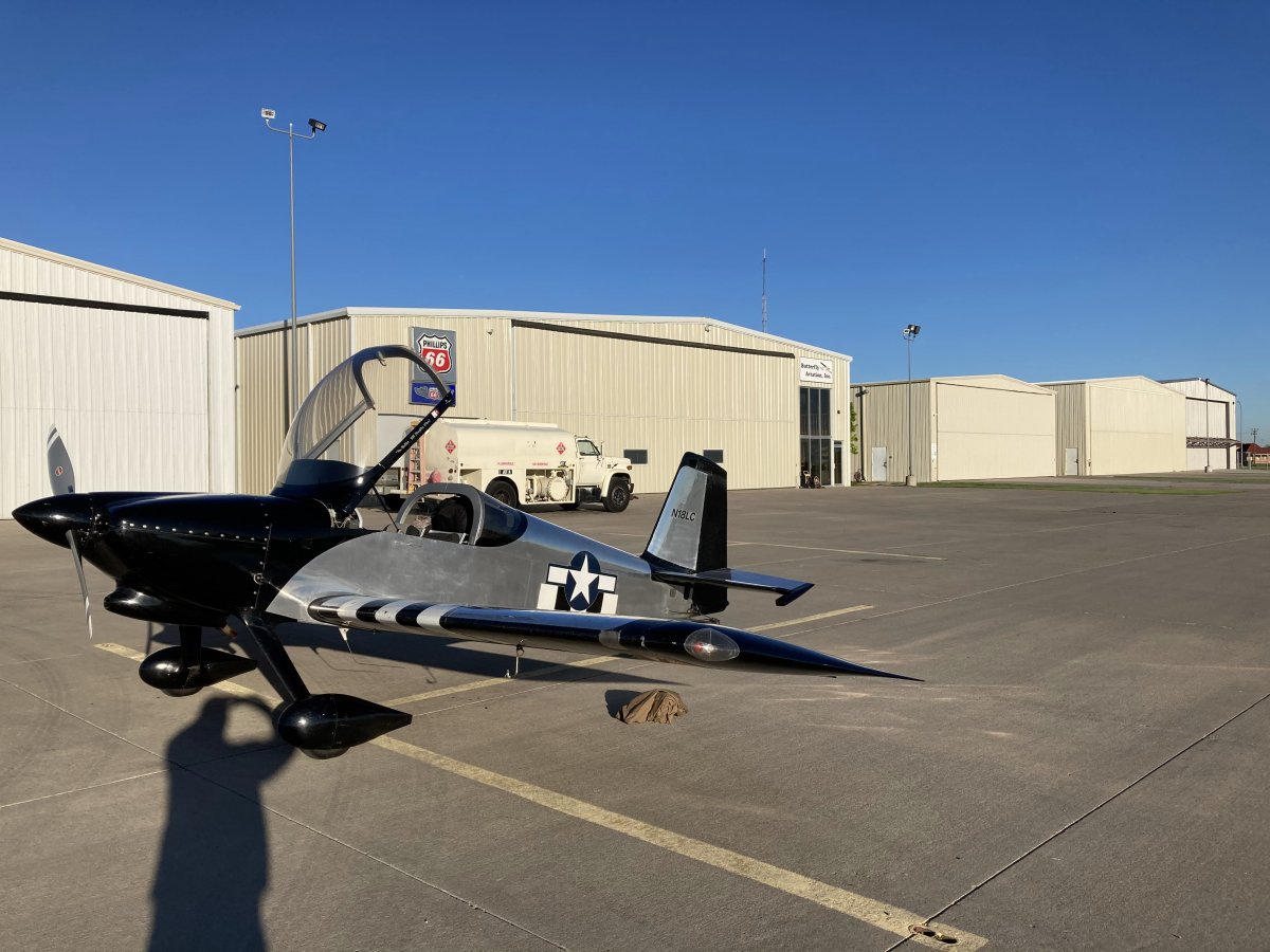
| In front of the Buttlerfly Aviation FBO early in the morning. |
| |
 |
|
|
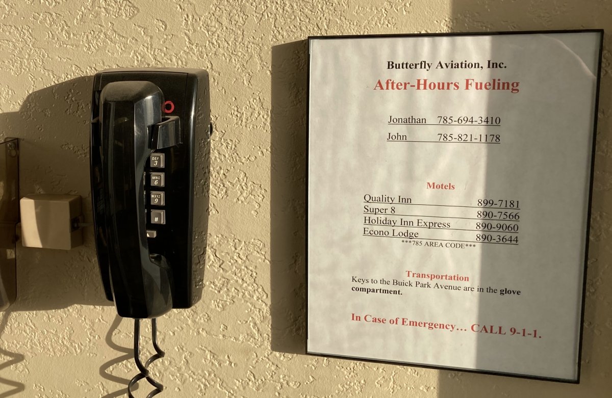
As a transient pilot, this is what you like to see at an airport. Of course, the landline phone is now obsolete, but it wasn't that long ago that most people didn't have mobile phones.
|
| |
 |
|
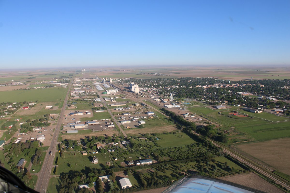
| Another look at the town of Goodland. |
| |
 |
|
|
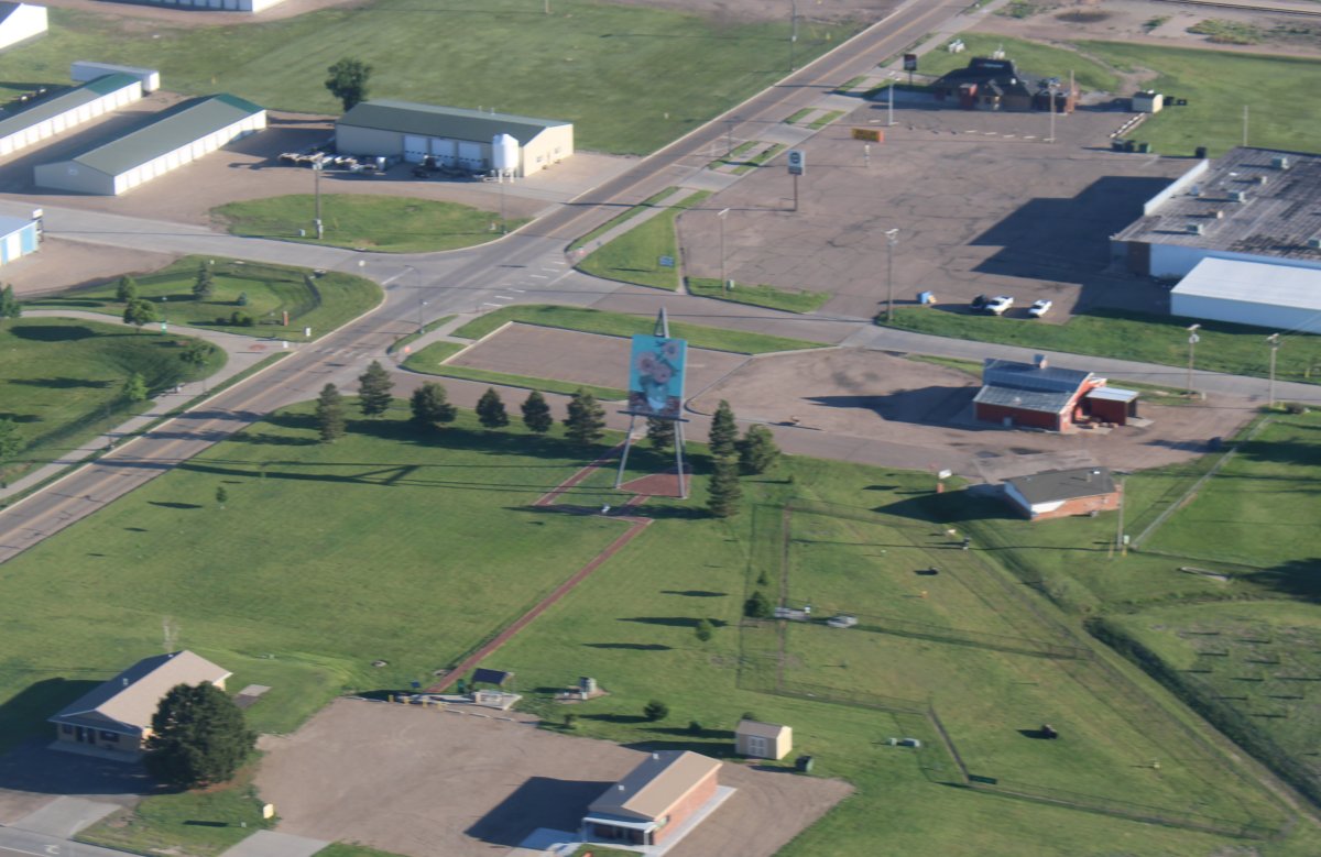
And there is the Big Easel.
|
| |
 |
|
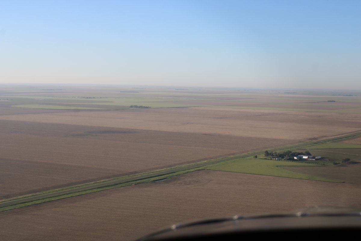
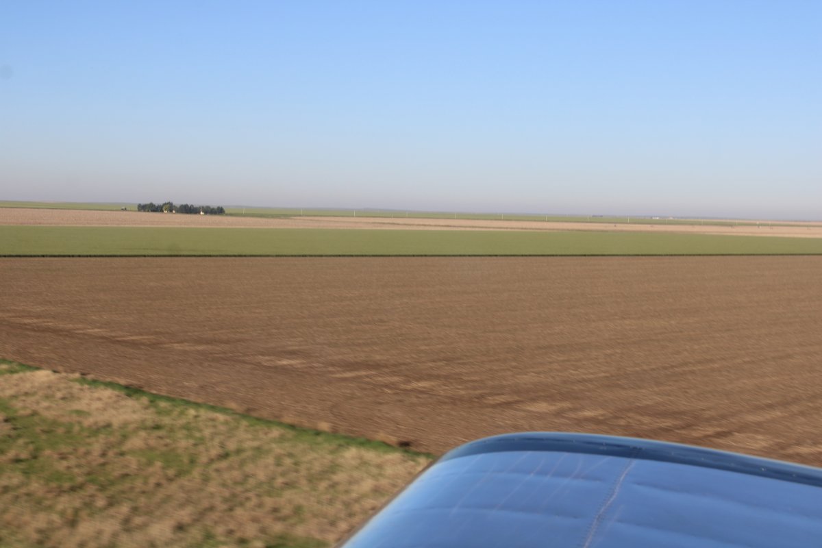
| I continued on my track to the southeast through Kansas to Oklahoma. |
| |
 |
|
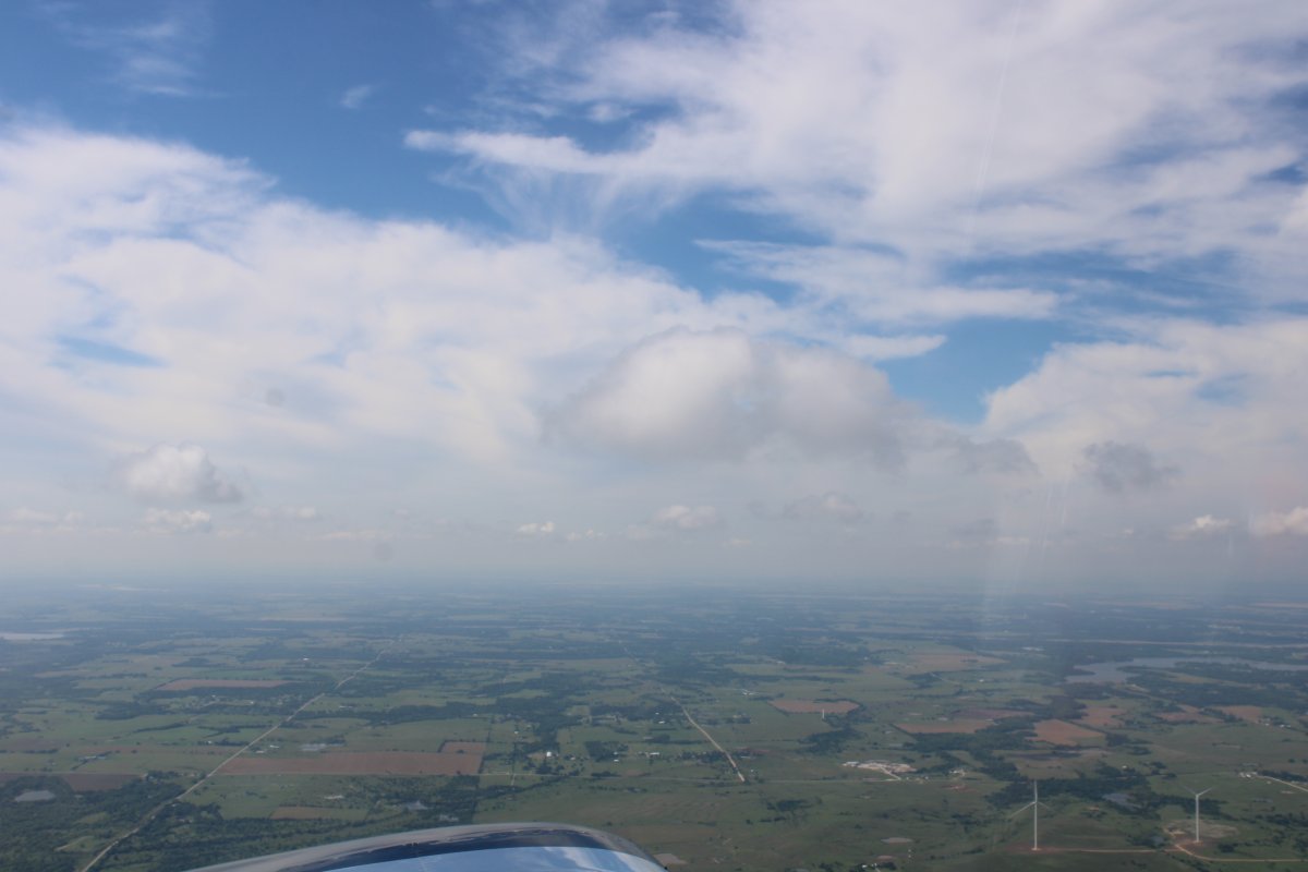
| Nothing better than flying low over the plains in the cool and smooth morning air. |
| |
 |
|
| |
| |
 |
|
|
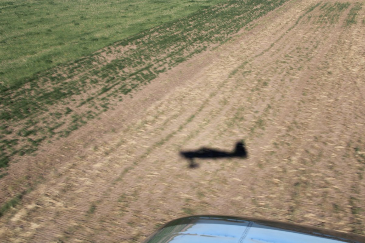
The RV silhouette -- nice looking plane!
|
| |
 |
|
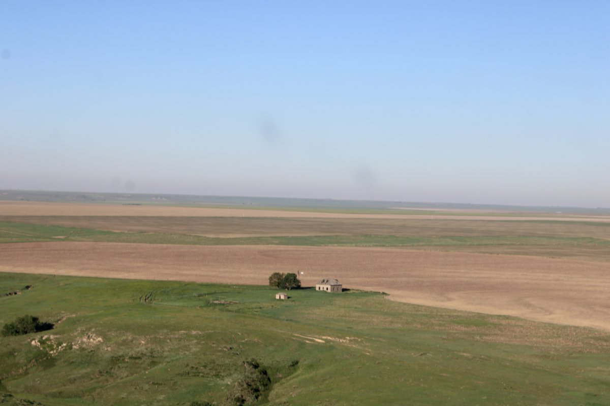
| Little house on the prairie. |
| |
 |
|
|
|
| |
 |
|
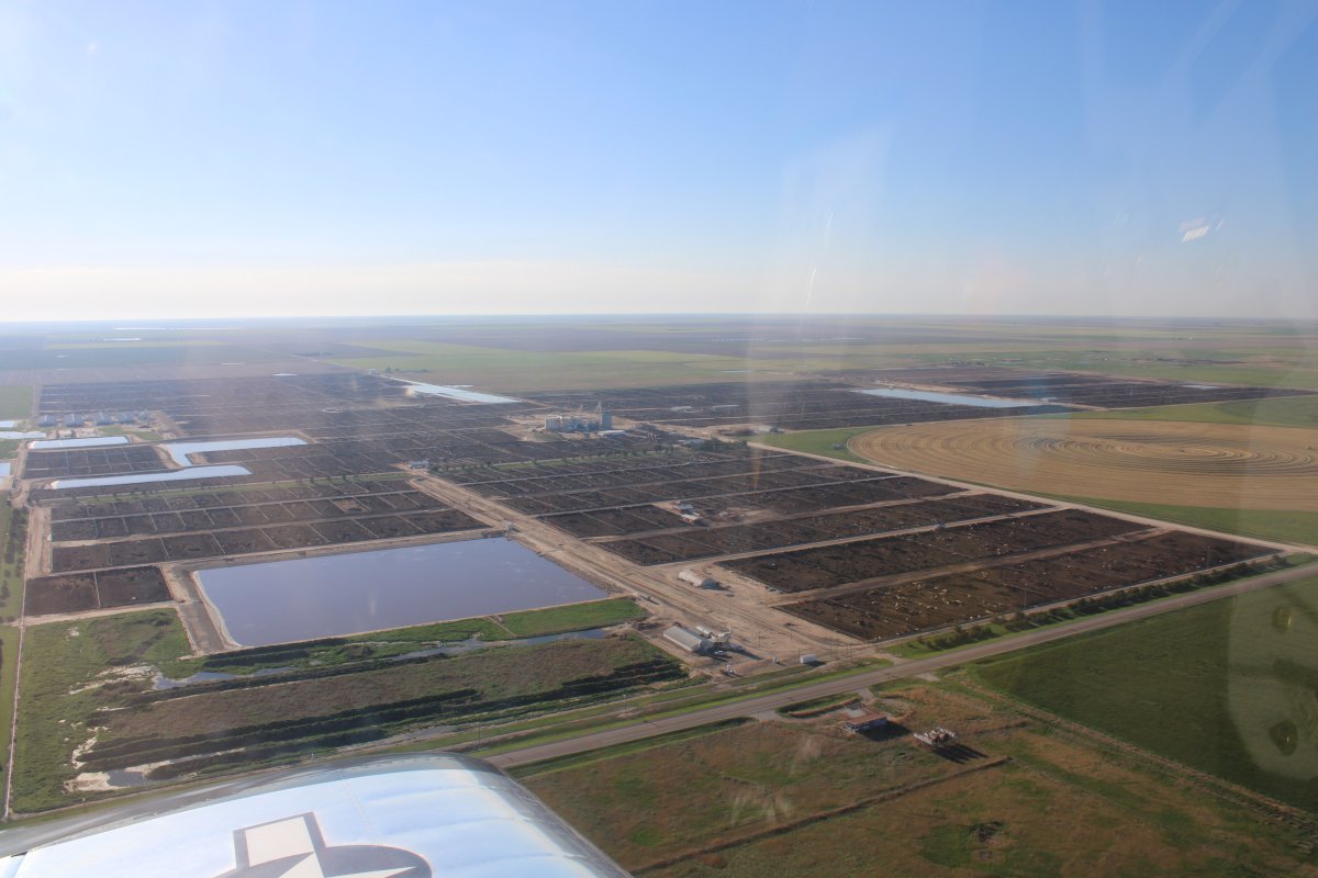
| Flying by a massive stockyard. |
| |
 |
|
| |
| |
 |
|
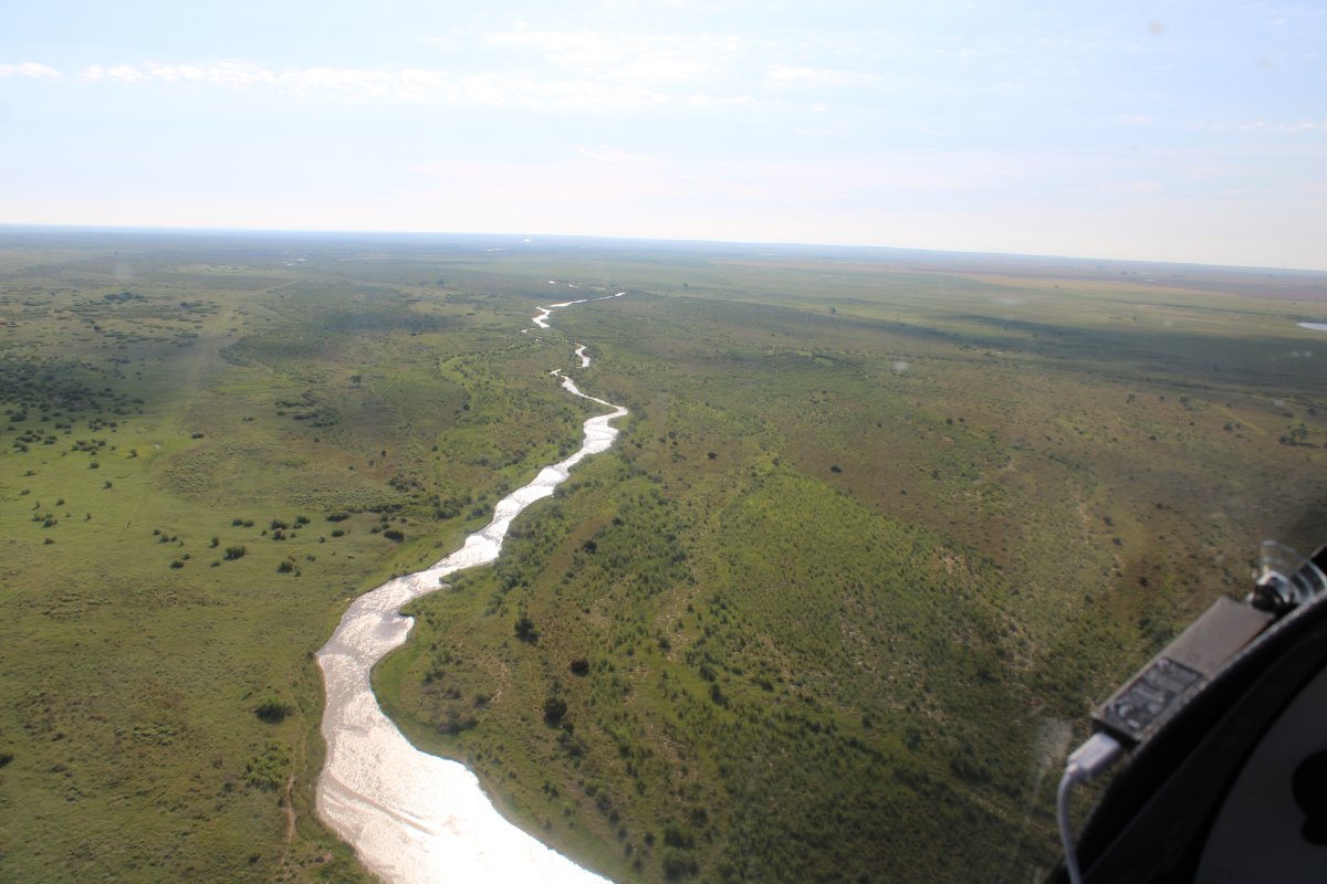
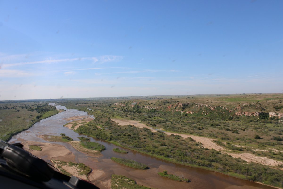
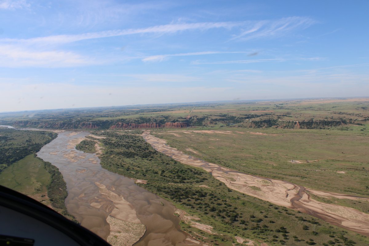
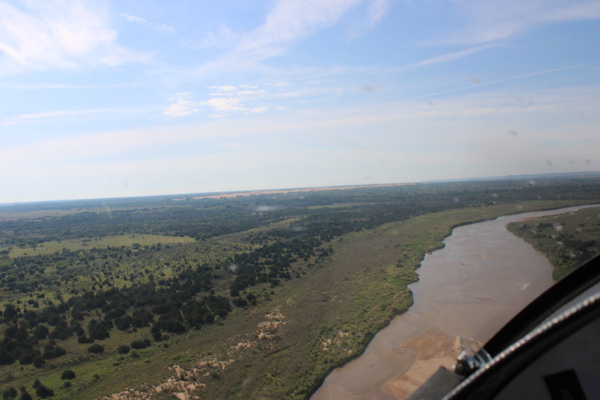
| I intersected the Cimarron River just north of the Oklahoma border and started following it east. |
| |
 |
|
|
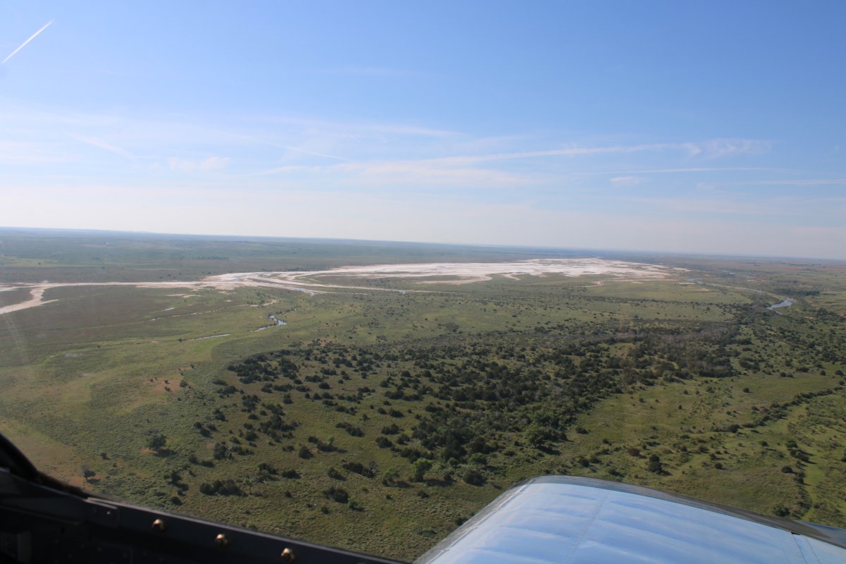
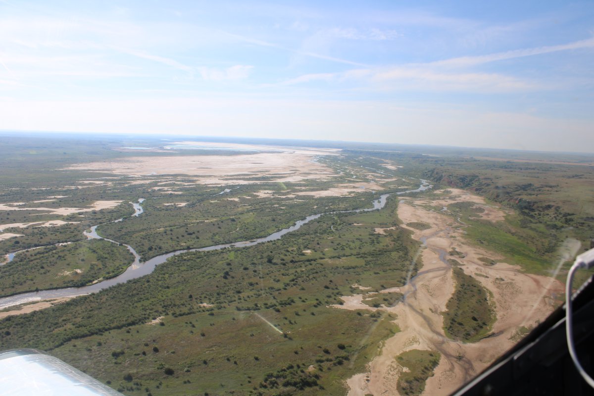
The Cimarron River turned southeast and widened into some salt flats.
|
| |
 |
|
| Pretty |
| |
 |
|
|
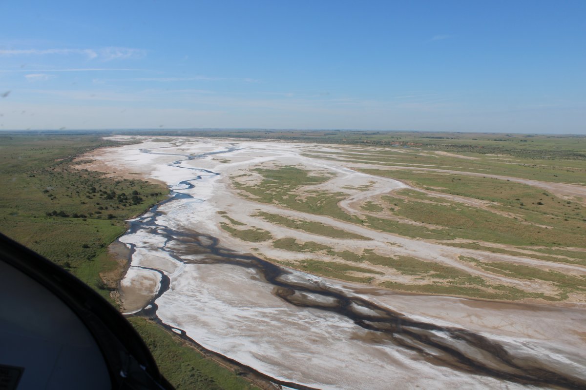
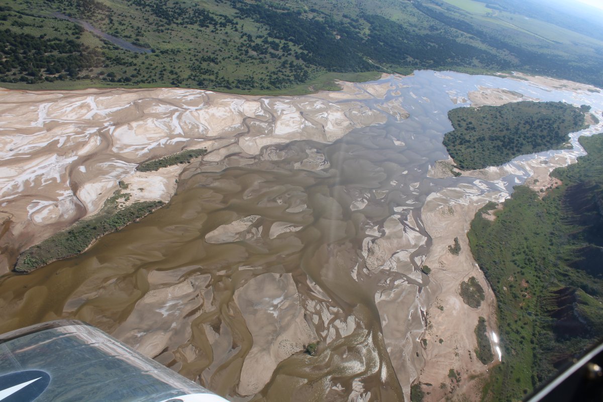
Cruising the salt flats.
|
| |
 |
|
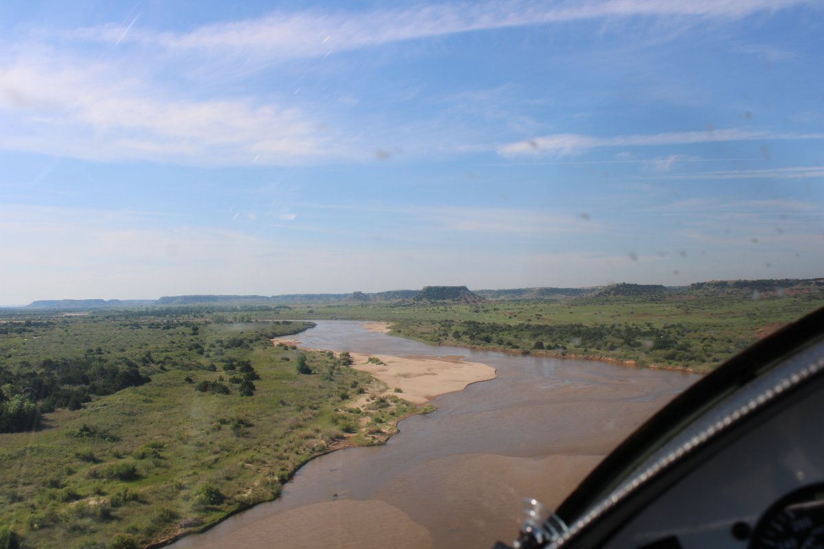
| Continuing southeast along the Cimarron. |
| |
 |
|
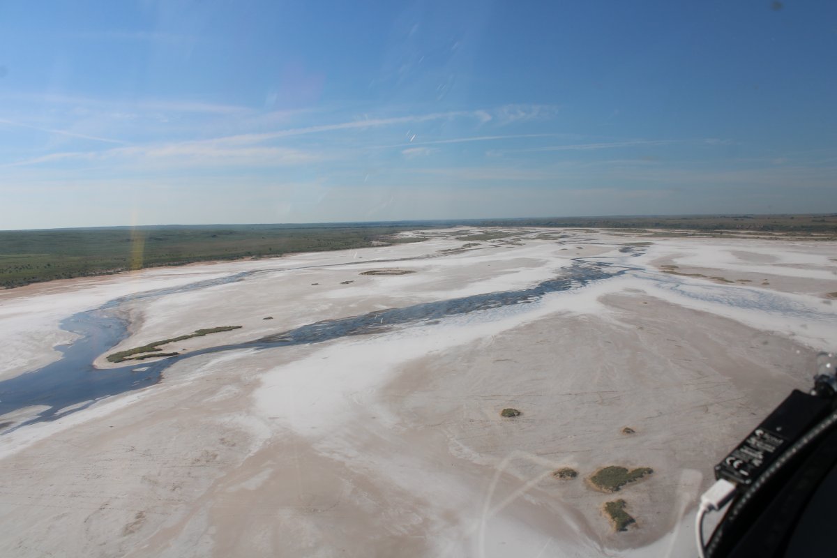
| More flats. This time not salt, but mud. |
| |
 |
|
| Another kaleidoscope of color. (Yeah, I had to look up the spelling on that one) |
| |
 |
|
|
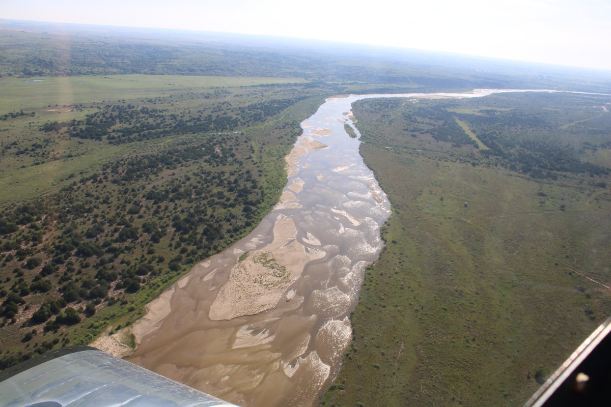
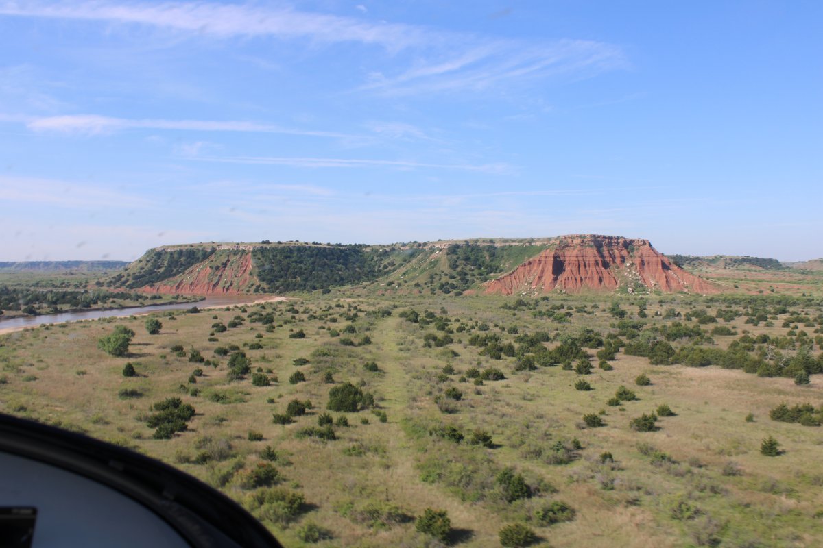
The Cimarron turned out to be a fun river to fly.
|
| |
 |
|
| |
| |
 |
|
|
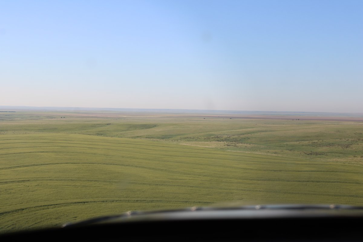
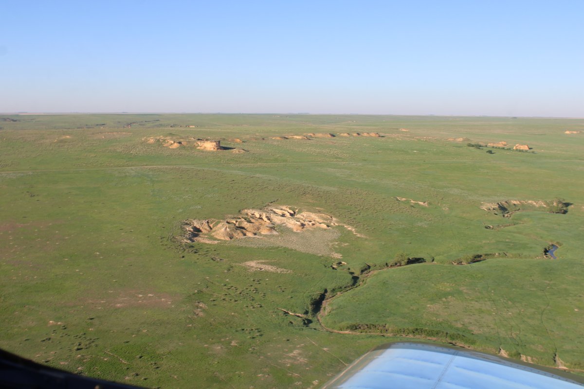
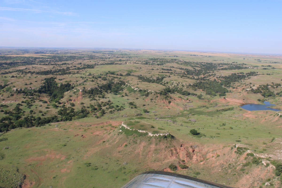
Not mountains, but not flat plains either.
|
| |
 |
|
| Approaching a plateau. |
| |
 |
|
|
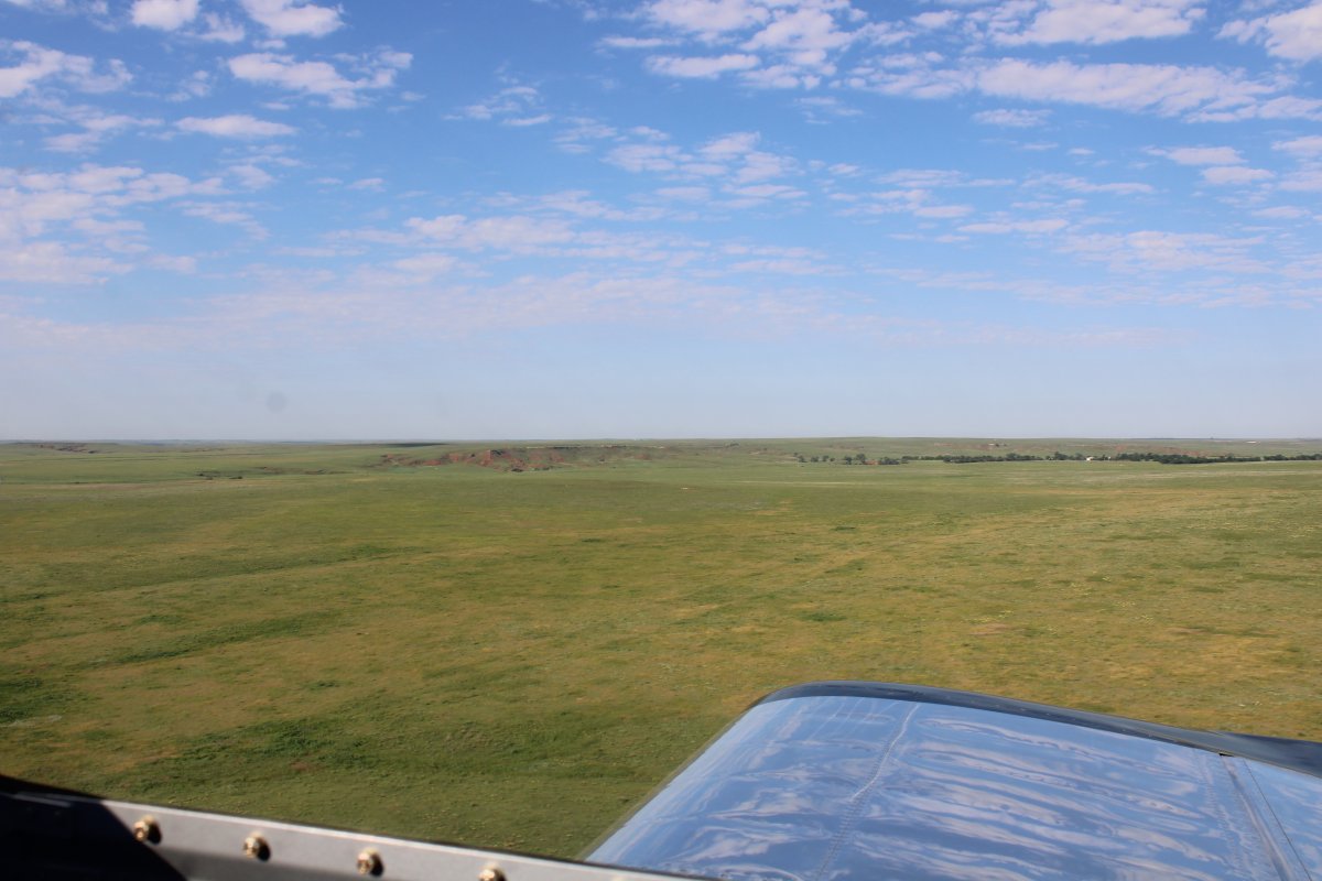
Having fun.
|
| |
 |
|
| Approaching my destination: in the distance, center left. |
| |
 |
|
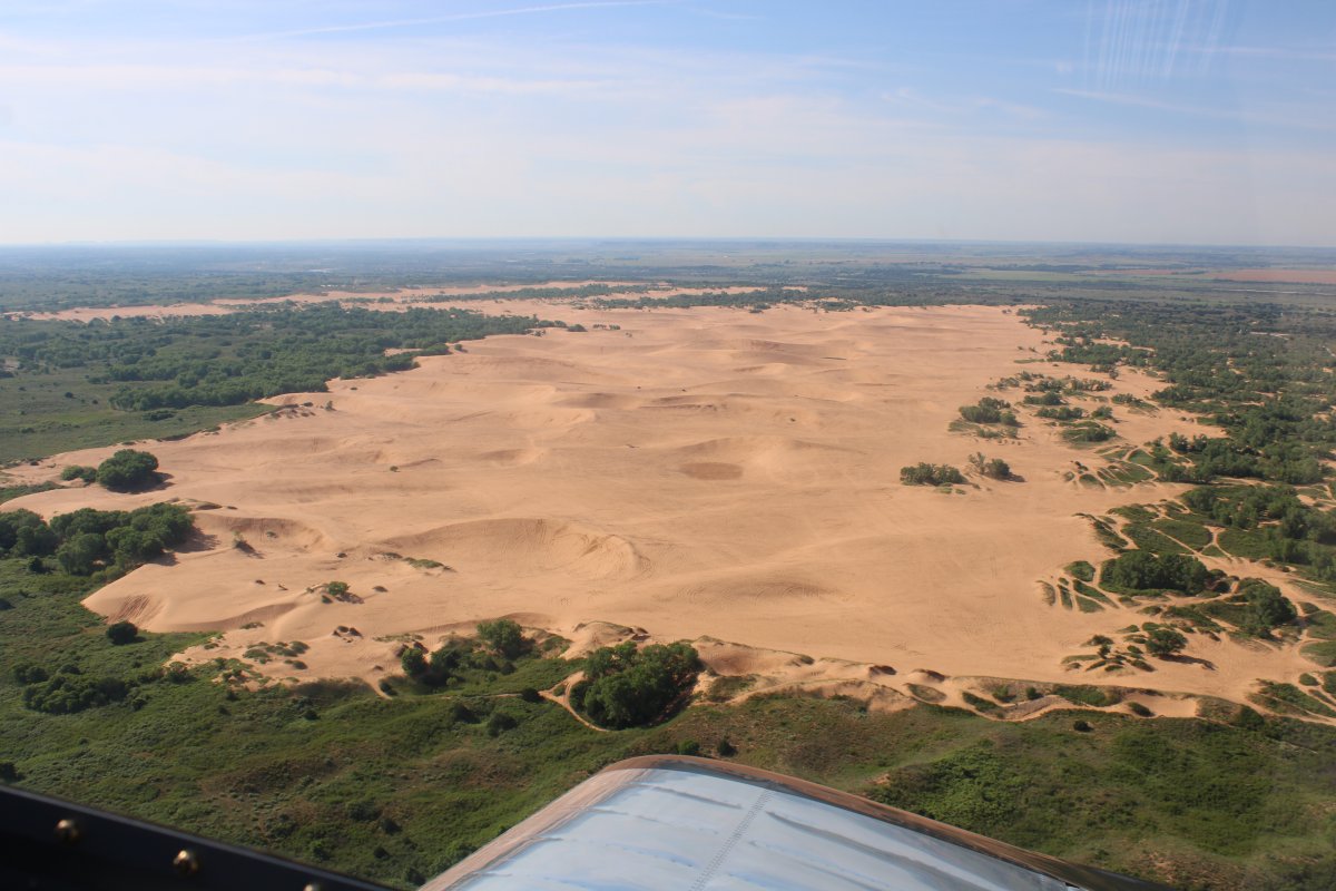
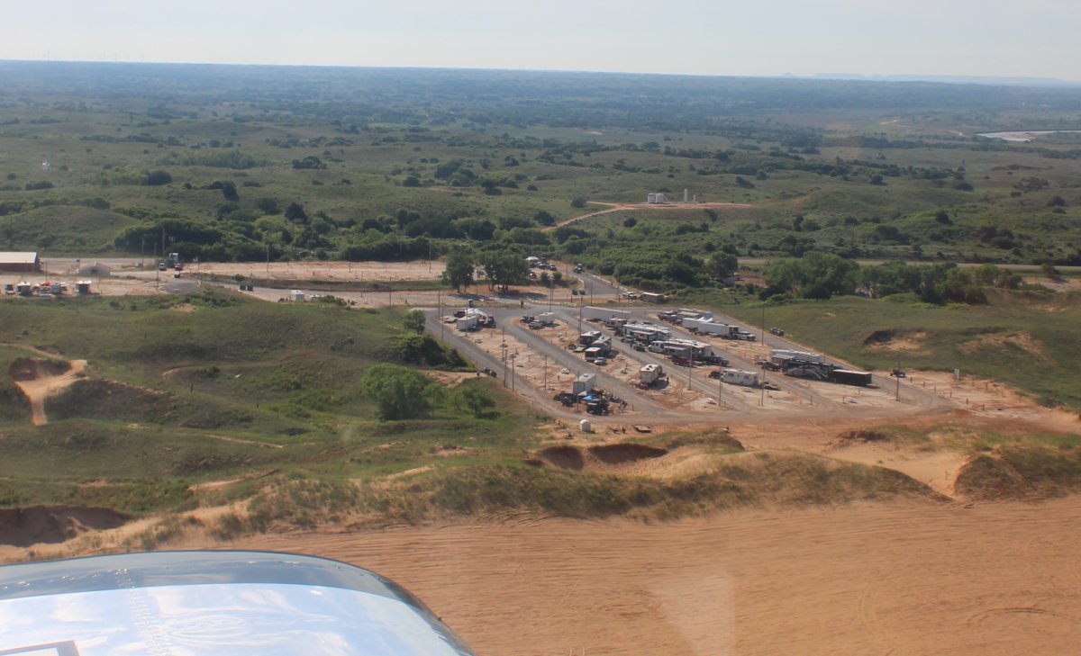
| It's the Little Sahara State Park in Oklahoma. Also called the Waynoka Dunes. (Waynoka is the nearby town) |
| |
 |
|
| The park offers over 1600 acres of rideable sand dunes ranging in height from 25 feet to 75 ft. Vehicles allowed include motorcycles, dirt bikes, ATVs, UTVs and SXS, SUVs and Jeeps. |
| |
 |
|
|
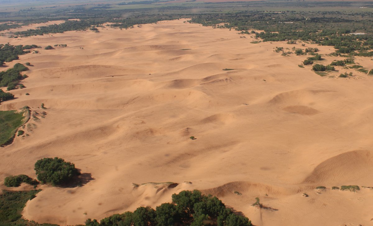
You can't see them in the picture, but flying over I could see vehicles all over the place on the dunes. Looked like fun! Not as much fun as I was having, of course, but probably close.
|
| |
 |
|
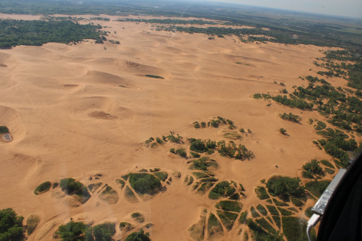
| Passing by a big parking area at the southeast corner of the dunes to park motorhomes, RVs and trailers. |
| |
 |
|
|
Leaving the Little Sahara Sand Dunes I turned due east. Originally my plan had been to continue southeast to Oklahoma City. For three reasons: 1) I wanted to fly east through the center of Oklahoma and Arkansas since I hadn't really covered that part of the USA before, 2) fly over the Sooner football stadium, University of Oklahoma in Norman, just south of OK City, and 3) stay overnight in Pine Bluff, Arkansas which looked like an outstanding overnight spot.
But. The weather intervened, as it is wont to do. The forecast for Arkansas did not look good. I might be able to make it into Pine Bluff, but then not be able to get out due to weather. I decided to play it safe and stay on the northern edge of Oklahoma and Arkansas.
|
| |
 |
|
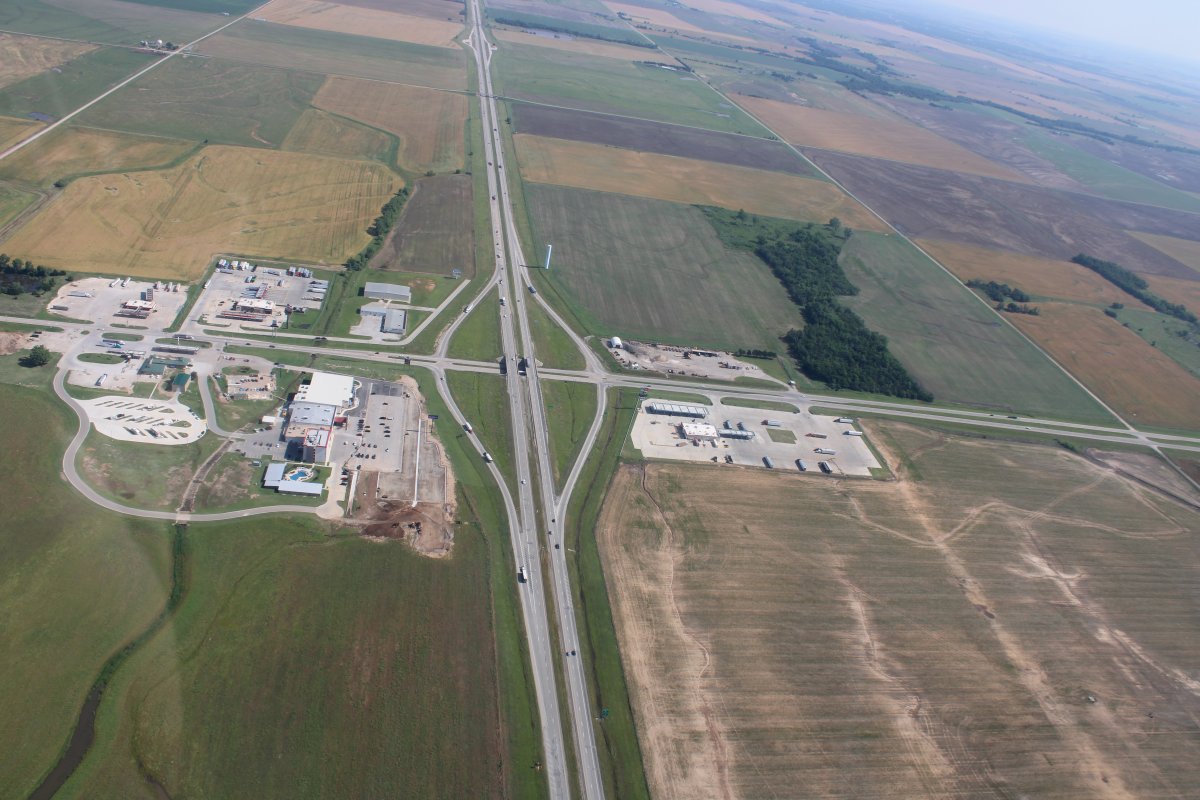
| A big intersection somewhere in northern Oklahoma. |
| |
 |
|
|
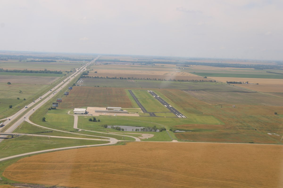
Ponca City Regional Airport (KPNC) showed an excellent fuel price plus an on-field restaurant so I decided to stop for lunch and to refuel. I listened to the airport weather on the ASOS radio. Sounded good. It wasn't until I was on final that I noticed a big X on the runway threshold! The airports only runway was closed! I found out later it had been for months. Later, I looked at the Notams for this airport, and sure enough, in a crypic message halfway down the multiple Notams were the words "CLSD". Why they don't mention that in the ASOS weather brief I don't know.
I was slightly perturbed, but turned back west and headed for Blackwell-Tonkawa Municipal Airport (KBKN) 12 miles away.
|
| |
 |
|
| What are these strange white things? Haven't seen anything like this in over a week. |
| |
 |
|
|
Turning final at Blackwell-Tonkawa Airport. I refueled here at a very good price. They have a modern self-service pump. I spent an enjoyable hour talking with the friendly airport manager who has done just about everything there is to do in general aviation including crop dusting. It's guys like him who are keeping GA alive. The airport has a nice pilot's lounge but because it is located equidistance away from the two cities Blackwell and Tonkawa and no longer has a courtesy car it might not be a good overnight stop for a transient pilot.
|
| |
 |
|
|
I continued east-northeast. My next destination was the Tallgrass Prairie Preserve in northeast Oklahoma.
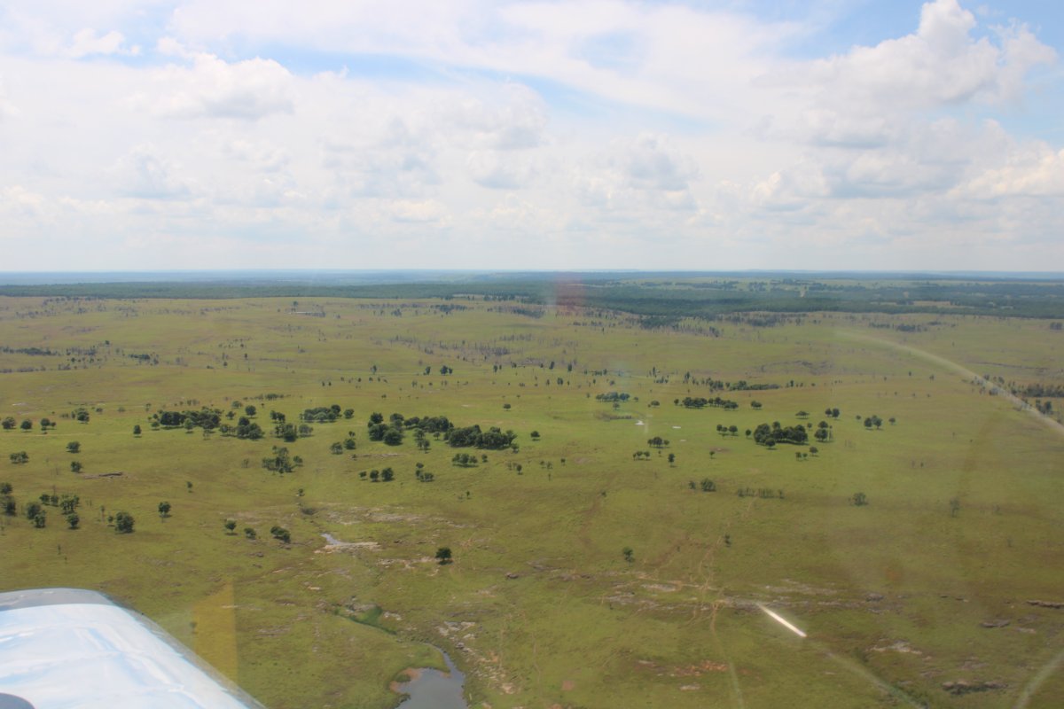
The Joseph H. Williams Tallgrass Prairie Preserve, in Osage County, Oklahoma near Foraker, Oklahoma, is protected as the largest tract of remaining tallgrass prairie in the world. The preserve contains 39,000 acres owned by the Conservancy and another 6,000 acres leased in what was the original tallgrass region of the Great Plains that stretched from Texas to Manitoba.
I circled around the Preserve looking for tallgrass but never saw any. There are supposed to be 2,500 bison here too but I didn't see any of those either.
|
| |
 |
|
|
This is what I was hoping to see. Oh, well. Maybe someday.
|
| |
 |
|
|
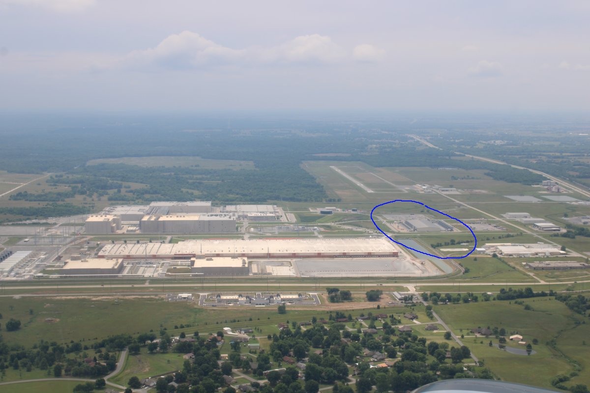
Circled below is the Mayes County Google Data Center. Maybe this web log is stored there?
The Mid-America Industrial Airport is to the south of it. The huge building at lower center is owned by J.E. Dunn Construction. They get it done! The huge building complex at top center is unknown.
|
| |
 |
|
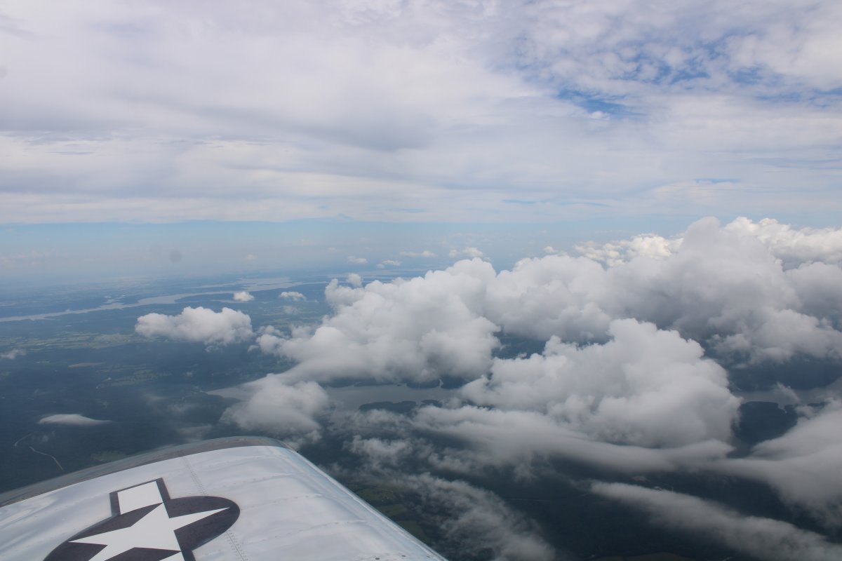
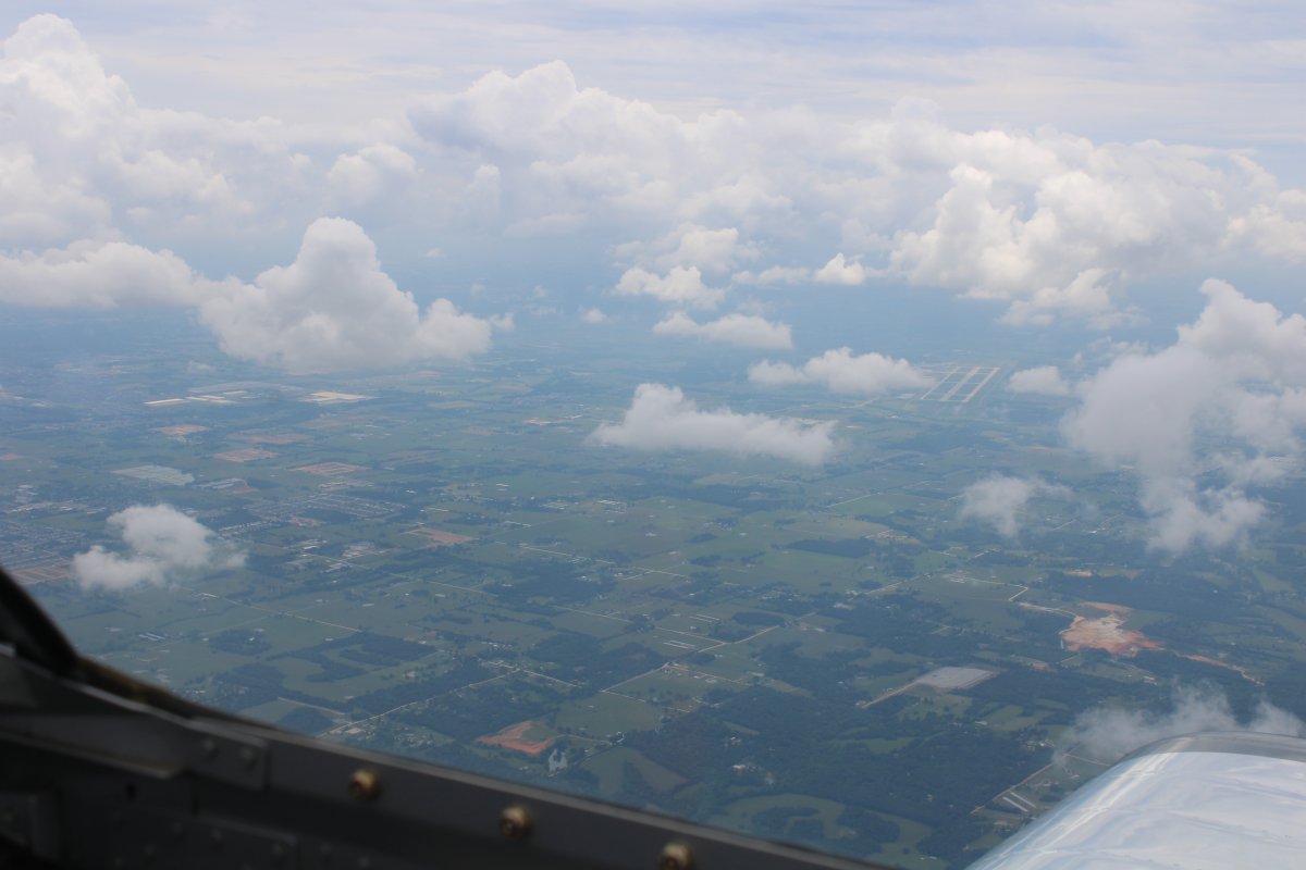
| I climbed to get above a scattered cloud layer and headed east for the Arkansas border. |
| |
 |
|
| Looking down at Northwest Arkansas National Airport (KXNA) in the distance. This airport serves Bentonville, Arkansas. Bentonville happens to be the birthplace and world headquarters of Walmart, the world's largest retailer. I once talked with a pilot who flew a Walmart business jet and know they have a large fleet of them. This airport must be busy; they have Class C airspace. |
| |
 |
|
|
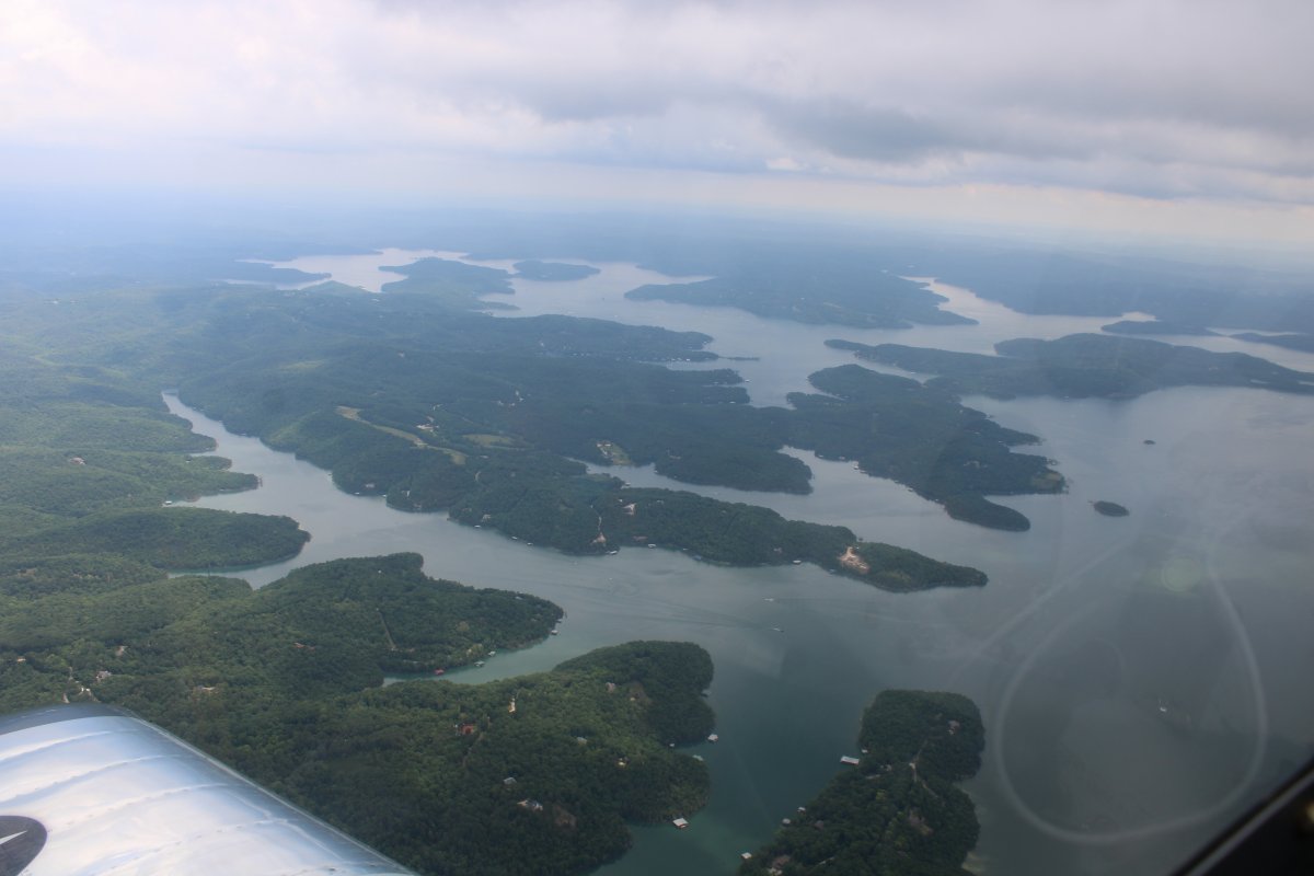
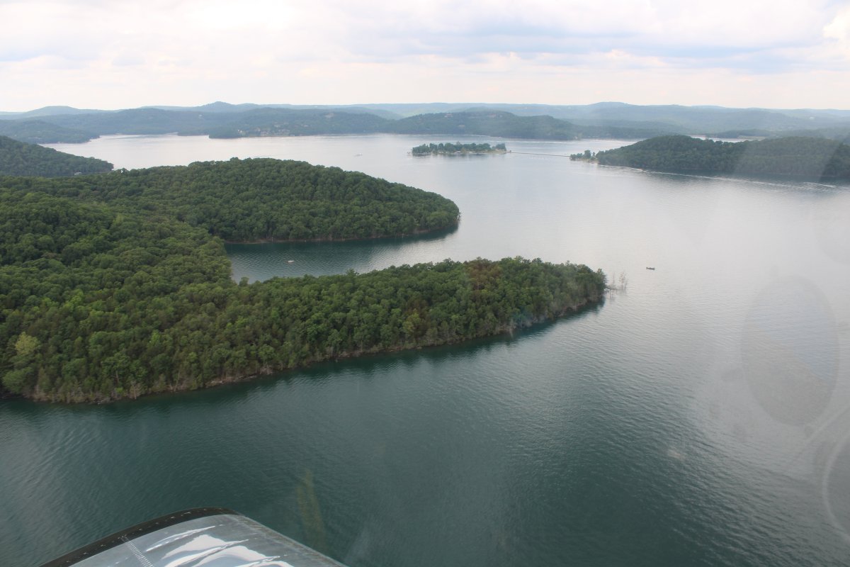
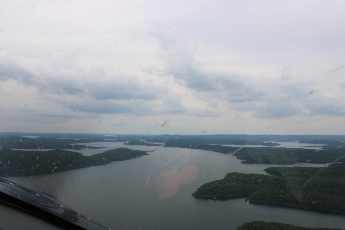
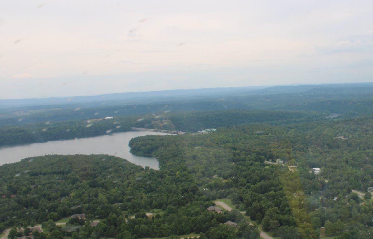
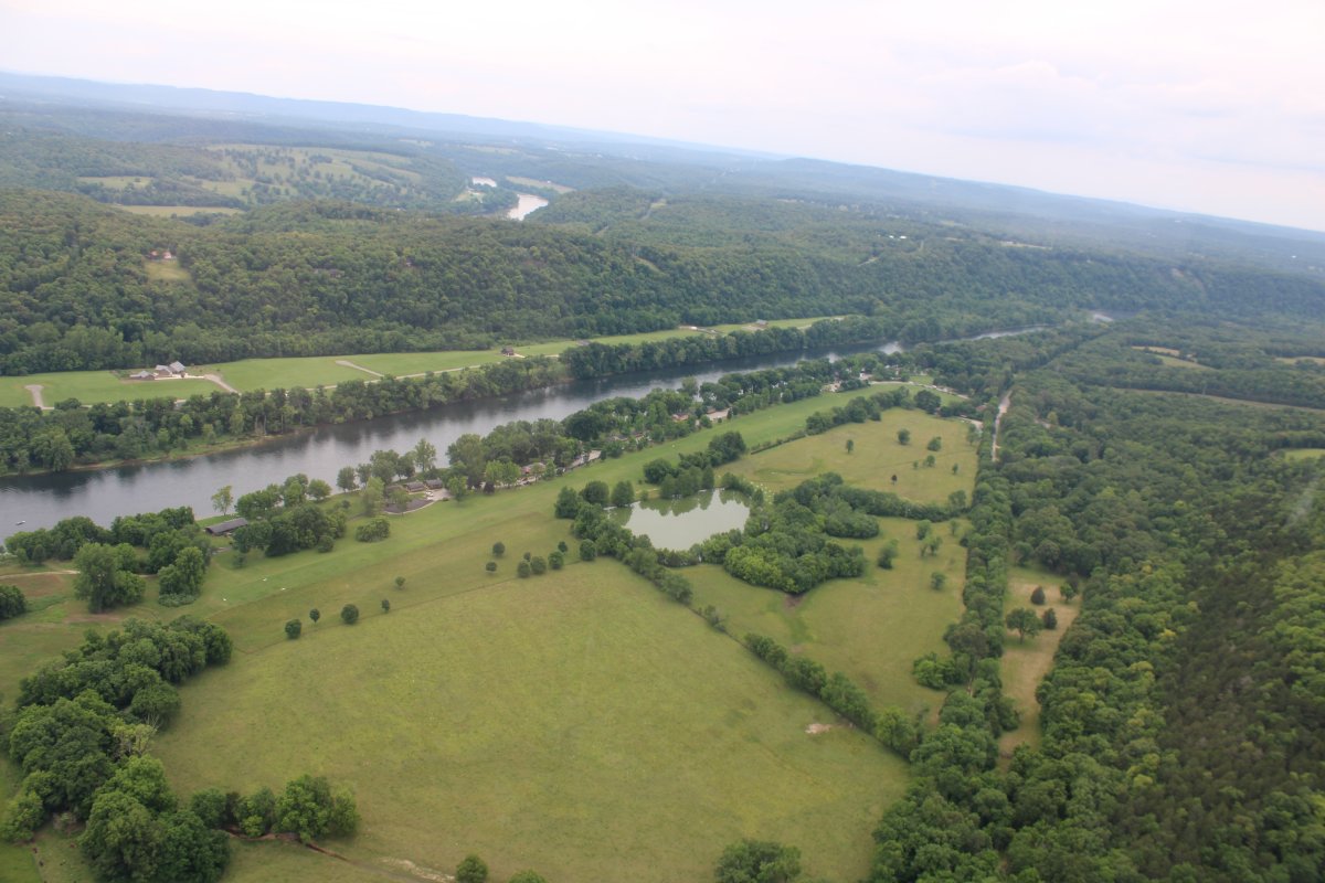
There's a huge river/lake/reservoir complex running east-west on the border of Arkansas and Missouri so I flew to the west end of it. I believe it is the White River and the Table Rock Lake.
|
| |
 |
|
| Descending for a closer look. |
| |
 |
|
|
Passing by a private strip on the side of a hill.
|
| |
 |
|
| Nice look, surrounded by trees. |
| |
 |
|
| |
| |
 |
|
| Passing another airstrip on the lake. |
| |
 |
|
|
This is one big lake! When you think of Arkansas, you really don't think about lakes.
|
| |
 |
|
| Yet another private airstrip! |
| |
 |
|
|
And another!
|
| |
 |
|
| Where there is water, there are boats. |
| |
 |
|
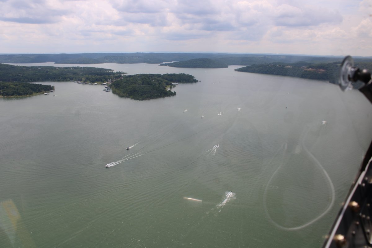
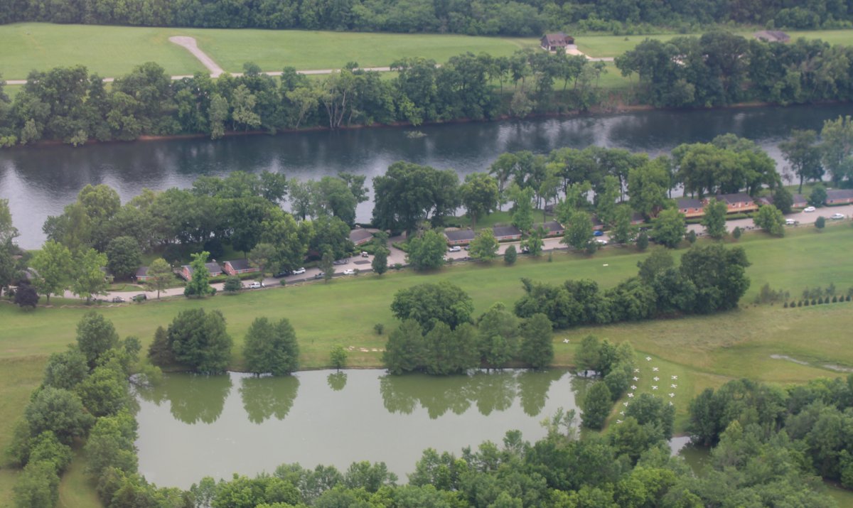
| Approaching Branson, Missouri. |
| |
 |
|
| A colorful condo complex, overlooking Table Rock Lake. |
| |
 |
|
|
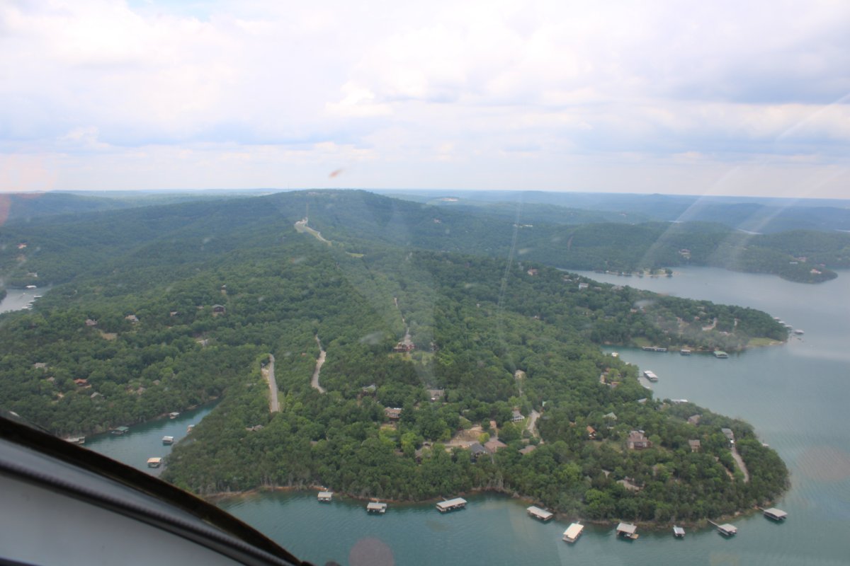
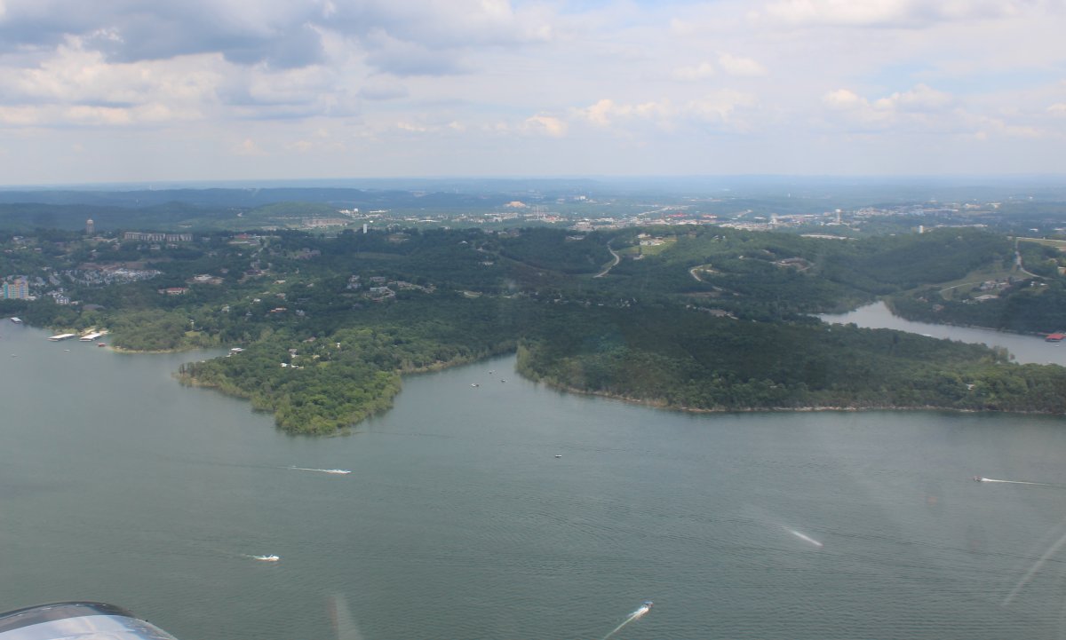
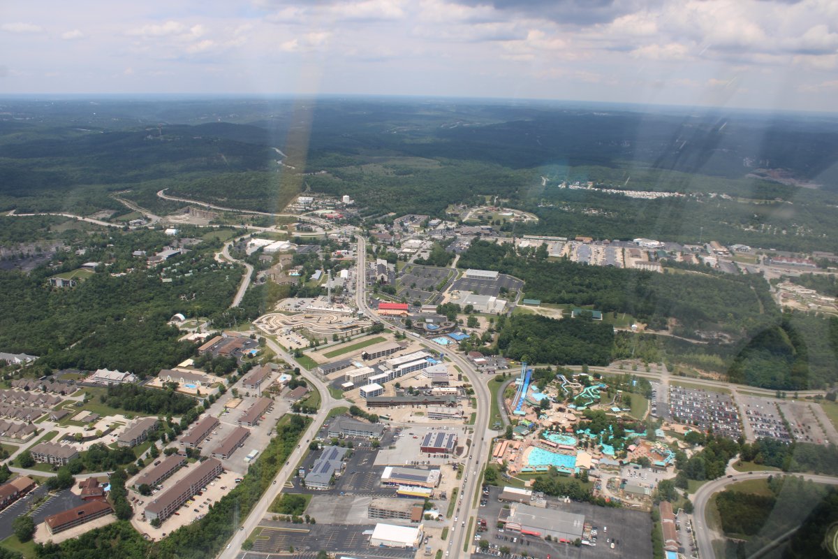
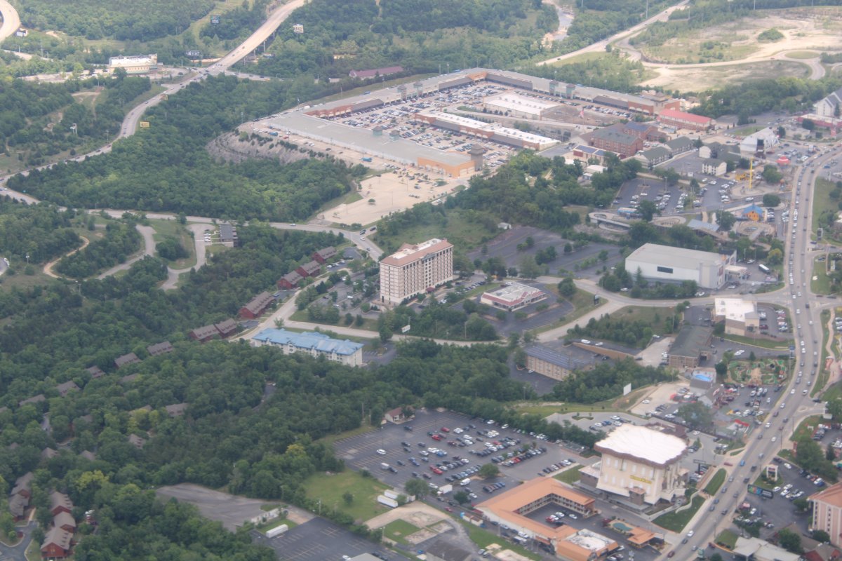
Flying over the town of Branson. Lynnette and I had visited back in early December, so I knew what I was looking at.
|
| |
 |
|
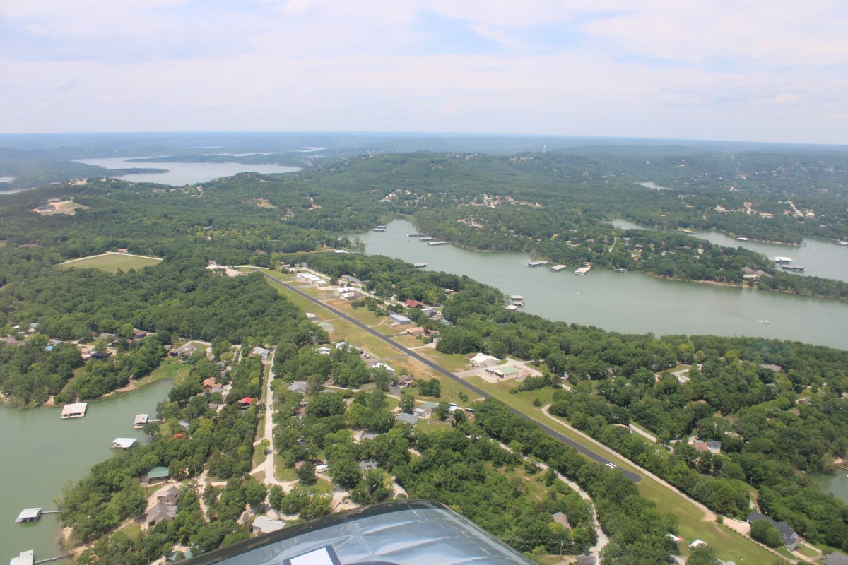
| Looking north along the main drag which is 76 Country Boulevard. |
| |
 |
|
|
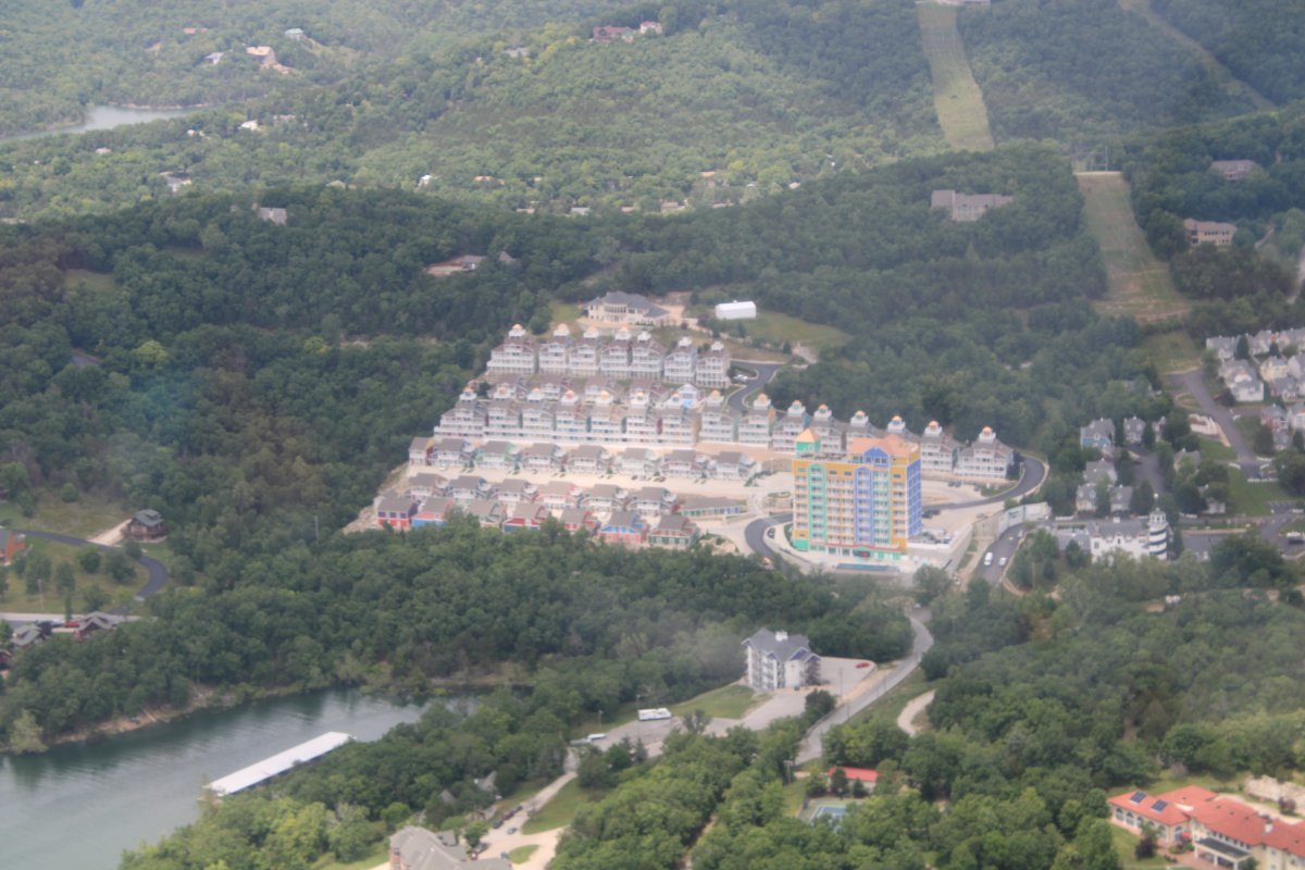
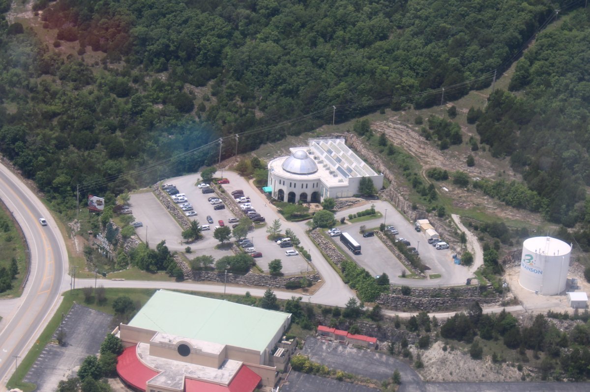
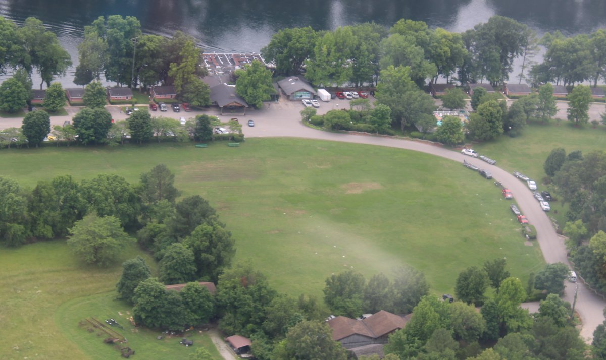
The Butterfly Palace which Lynnette and I enjoyed visiting last December.
|
| |
 |
|
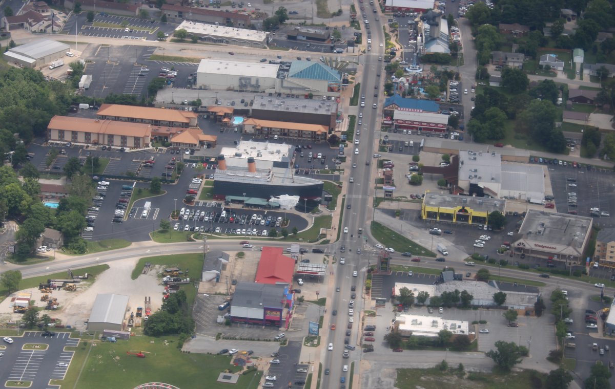
| Notice the forward end of the good ship Titanic, just left of center. Branson is a vacation town, like Pigeon Forge, Tennesee or Ocean City, Maryland. Lots of things to do. Branson's claim to fame are all its music shows. |
| |
 |
|
|
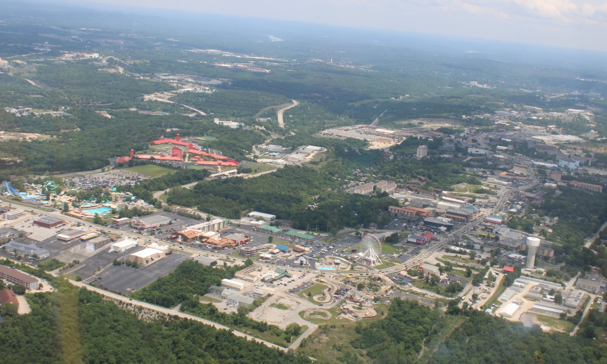
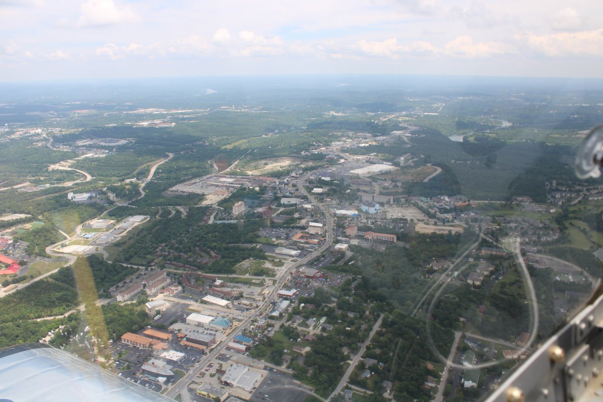
Now looking east along the main drag.
|
| |
 |
|
| The hotel we stayed at is at center. Back in December, it was rainy and cold, and the town was deserted. |
| |
 |
|
|
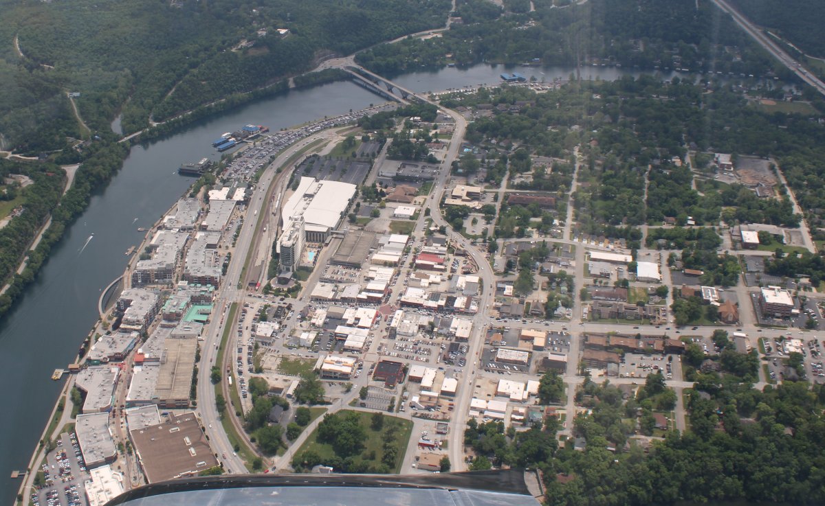
Looking down at the east end of town, down by the White River.
|
| |
 |
|
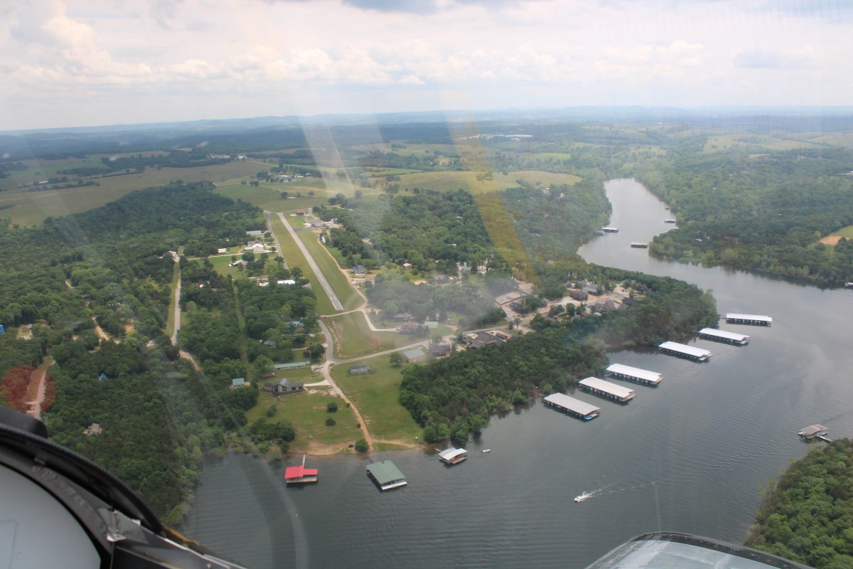
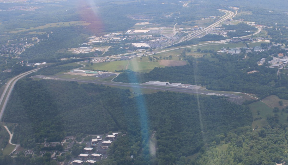
| Looking south at nearby M. Graham Clark Downtown Airport (KPLK). A bigger, towered airport -- Branson Airport (KBBG) -- is about five miles to the south. |
| |
 |
|
|
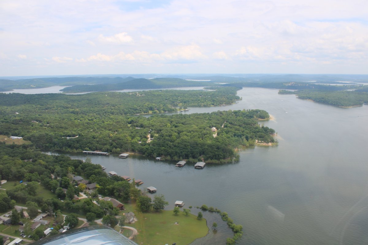
I continued east following the White River. For awhile the shores were very unpopulated.
|
| |
 |
|
|
|
| |
 |
|
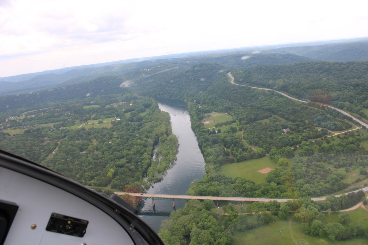
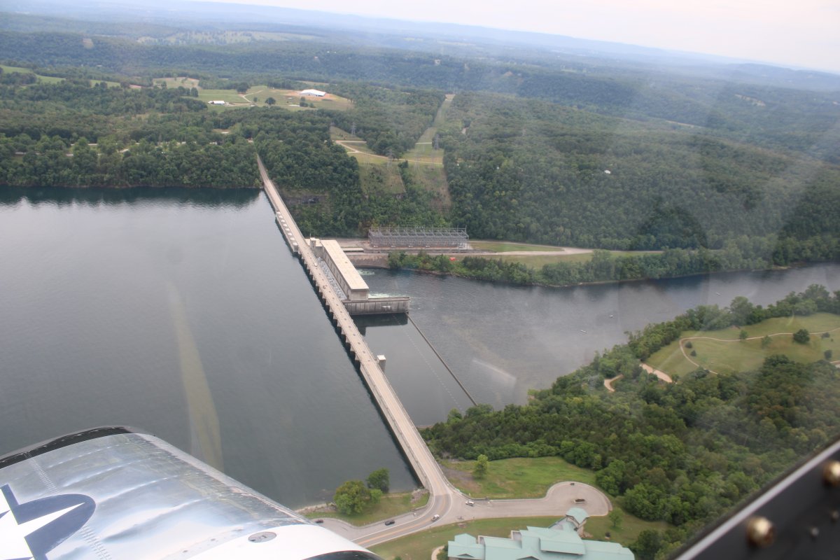
| I'm actually flying west now, crossing over the Bull Shoals Dam. |
| |
 |
|
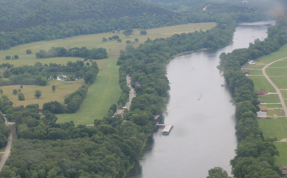
| The White River makes a U-turn so now I'm heading east looking down at Gaston's White River Resort and grass airstrip. |
| |
 |
|
| A close-up of the ramp area and restaurant (on the water at lower right). I stayed here during the first part of my Oregon Trail trip in 2006. Link I considered stopping here for the night now but decided against it for some reason. |
| |
 |
|
|
Another look at Gastons, looking west.
|
| |
 |
|
| The cabins are between the river and airstrip. |
| |
 |
|
|
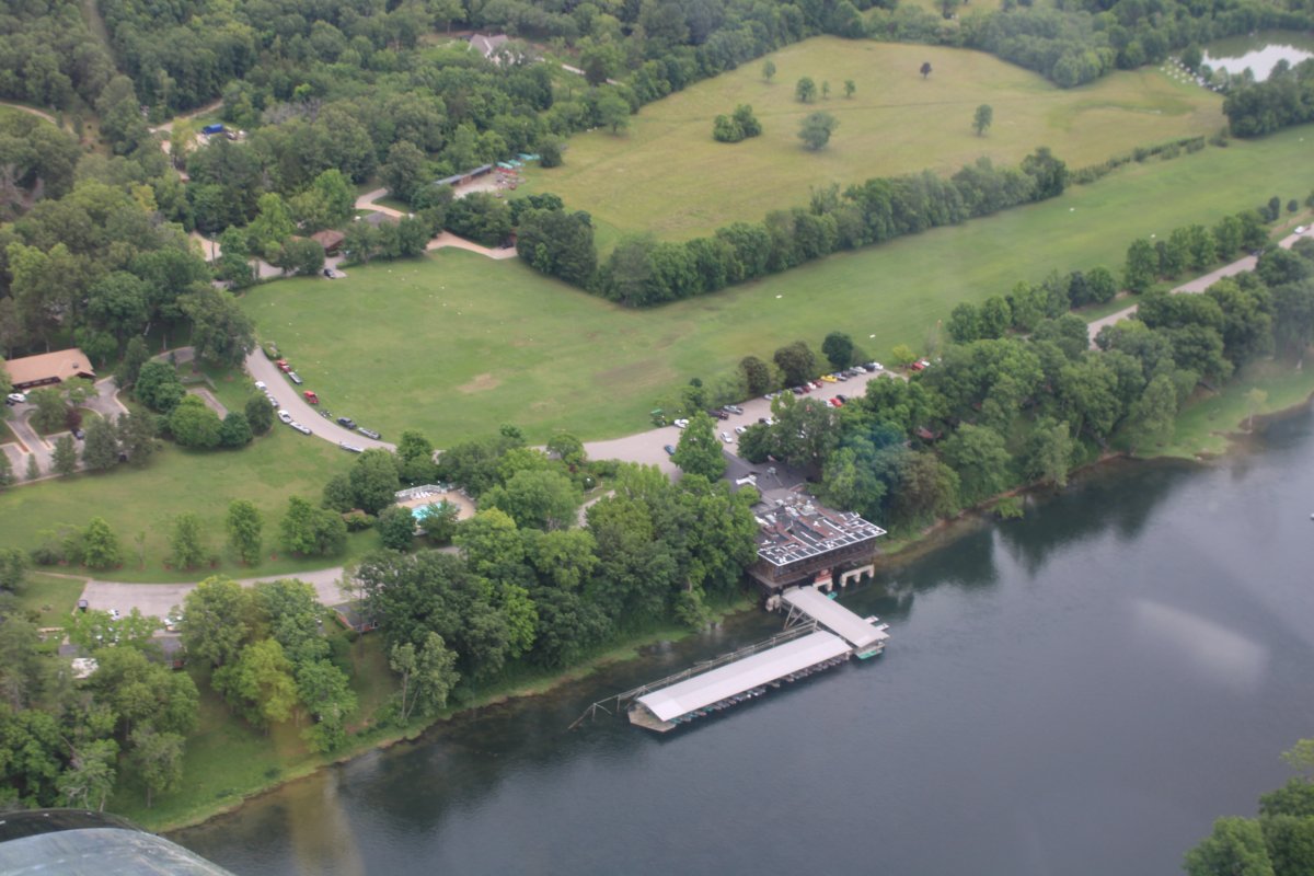
Another look at the main lodge/restaurant and ramp area. No airplanes here today.
|
| |
 |
|
|
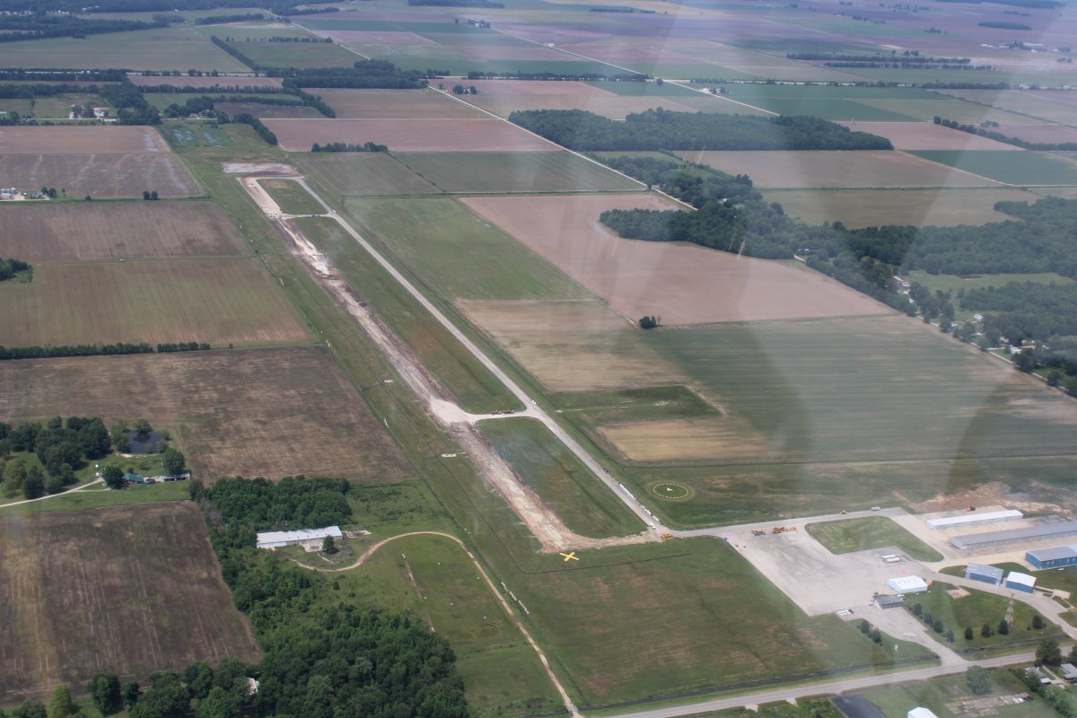
I continued east-northeast and crossed into Missouri for good. I thought Poplar Bluff mgiht be a good overnight stop -- good fuel prices, car, nearby town -- but when I flew by, the runway was clearly out of action. I couldn't believe it! Twice in one day.
Later I looked at the Notams and third down the list was this: "!POF 07/002 POF RWY 18/36 CLSD 2107081928-2107152200." They really need to revamp the Notam system into something that is actually readable and useful. Maybe something like AIRPORT CLOSED UNTIL FURTHER NOTICE! And put it on their ASOS Wx transmission. And take down the old (lower) fuel prices.
|
| |
 |
|
|
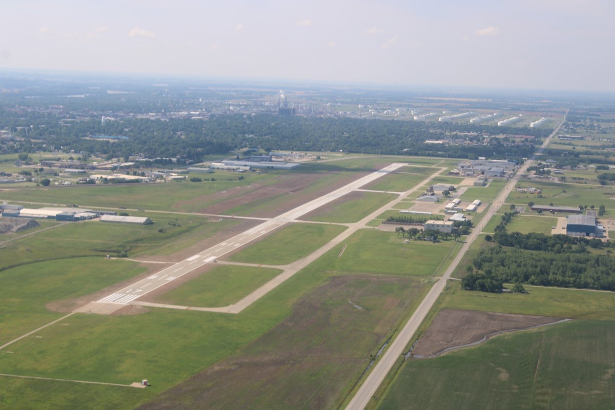
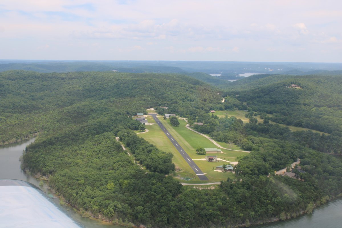
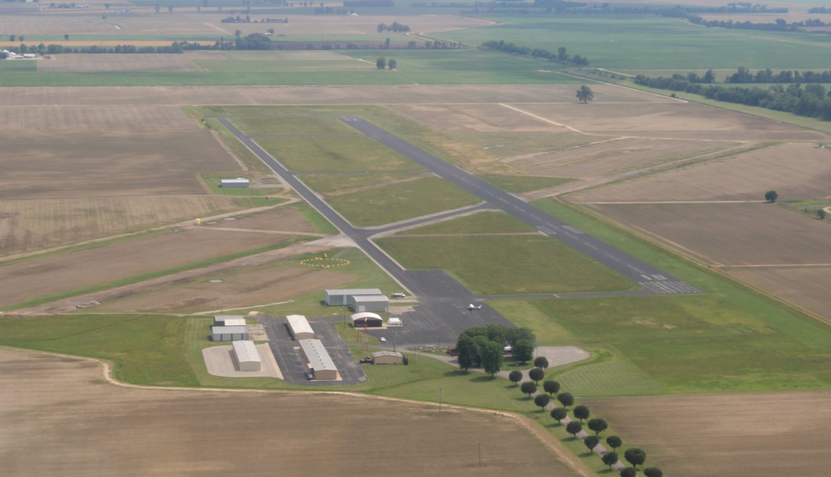
Another 20 miles or so further on was another promising overnight stop: Dexter Municipal Airport (KDXE). Score. The avgas price here was the lowest of the entire trip. The courtesy car was parked right next to the fuel pumps! The key is inside the comfortable pilot's lounge which you use CTAF as the code to get in. There is even an on-field restaurant, the Airways Cafe, but regretfully, it wasn't open since I landed after it closed at 2PM and it wasn't open the next morning because it was a Sunday. I would have liked to try it. But I did get to meet Maverick the Cat sleeping on the picnic bench outside the pilots lounge. There were ample tie-down rings. One of the regulars was very friendly and helpful. This is a great airport for the transient pilot. It's airports like these that make general aviation great.
After landing, I looked around and thought the airport looked familiar. And then I remembered stopping here for fuel in the Citabria on the first day of the Oregon Trail flight in 2006.
There was a rib place in town that had rave reviews. Some guy from Texas where they know a thing or two about ribs said they were the best he had ever had. So I went there in anticipation of something special. I was so disappointed when they were similar to something you might get at BWI airport: Mediocre city. We get ribs ten times better near where I live -- Adams Taphouse and Grille.
I had better luck with the motel. Almost always on this trip, I made reservations for lodging ahead of time on Bookings.com, so I know what the price will be. But I couldn't do that here -- didn't know I'd be ending up in Dexter. So I just went to the first place I found -- an Econo Lodge. Fortunately the rate was very good, and the room was good as well. I lucked out.
|
| |
 |
|
| |
| |
|
|
|
|
|
|